AboutEnterprise solutionsGet the app
Free walking tour · Neukölln · Berlin

Walk Neukölln,
your way.

Free Neukölln walking tour - Sonnenallee, Tempelhofer Feld, Hermannplatz, Reuterkiez, in 30 seconds

Your free walking tour of Berlin's most-quoted multicultural neighbourhood - Sonnenallee (the 'Arab Street' from Hermannplatz south, the canonical Middle-Eastern food axis), Tempelhofer Feld (the 386-hectare park on the former 1923-2008 airport - the largest inner-city park in the world), Hermannplatz with the 1929 Karstadt building, the Reuterkiez third-wave-coffee gentrification corridor, the Klunkerkranich rooftop bar, the Türkenmarkt at Maybachufer, the Britz Hufeisensiedlung UNESCO estate. Pick a walk below or tell us a theme. Works offline, 9 voiced languages, 30 free minutes on signup.

Or pick your walk

Local knowledge

What we'd tell you on day one

Six things that change how you walk Neukölln.

01

Walk Sonnenallee, eat as you go.

Sonnenallee is the 4-kilometre arterial street running south-east from Hermannplatz to Baumschulenstrasse, and the canonical 'Arab Street' of Berlin. Walk the northern 1.5 km from Hermannplatz to Sonnenallee S-Bahn slowly, stopping every two blocks. The reliable food line: Azzam (Sonnenallee 54) for the canonical Berlin falafel and hummus (€4-7, the chickpea stew is the local secret); Aldimashqi (Sonnenallee 15) for Damascus-style mezze + grilled meats (€8-15); Akroum Snack (Sonnenallee 45) for Beirut shawarma (€5-7); Konditorei Damaskus (Sonnenallee 93) for Aleppo-style sweets (the kunafa is the standout). Coffee at Cevat Café Sehir (Sonnenallee 38) - Turkish-Arabic strong-coffee tradition. The southern half of the street (below Sonnenallee S-Bahn) has fewer restaurants but more shisha lounges and gold shops. The Wall ran across Sonnenallee at Heidelberger Strasse from 1961 to 1989 - a small pavement plaque marks the crossing. The 1999 Leander Haußmann film 'Sonnenallee' is set on the eastern (former East Berlin) half of the street.

02

Tempelhofer Feld is the Berlin Sunday miracle.

Tempelhofer Feld is the 386-hectare park on the former 1923-2008 Tempelhof Airport - larger than Central Park, larger than Hyde Park, larger than the Bois de Boulogne. The park is the closest thing to a public commons in central Berlin: the two preserved 2.1-km runways are used for cycling, rollerblading, kite-buggies, skateboard cruising, jogging; the central grass field hosts urban gardening collectives, sheep grazing, kite flying, dog walking, picnics, Sunday barbecue gatherings (legal in marked zones). The 2014 referendum permanently blocked housing development on the field, so this is preserved forever as open space. Best on warm Sundays - the field fills with several thousand Berliners by mid-afternoon, the sunset over the western runway with the Tempelhof terminal silhouetted behind is one of the most-photographed Berlin scenes. The four entrances: Columbiadamm (north), Tempelhofer Damm (west), Oderstrasse (east), Herrfurthstrasse (south). Free entry, dawn to dusk. Bring a blanket, a beer, and a folding chair.

03

The Tempelhof terminal tours are worth the €17.50.

The Tempelhof Airport terminal (Platz der Luftbrücke 5, north side of the field) is the 1.2-km curved Nazi-era horseshoe building - one of the largest buildings in Europe by footprint, built 1936-1941 to plans by Ernst Sagebiel as the planned 'gateway to Germania' (Hitler's projected post-war capital). The building was used as a US Air Force base 1945-1993, then partially civilian, then closed as an airport in 2008. Today the terminal is partly leased to police, schools, and event venues, but the historical tours (Wed-Sun, €17.50, ~90 min, English available) are the only way to see the interior - the SS-era marble main hall, the underground tunnels, the photo exhibitions on the 1948-49 Berlin Airlift (the 'Rosinenbomber' planes landed every 90 seconds for 15 months delivering supplies to blockaded West Berlin), the 1990s civilian-era spaces. Book ahead at thf-berlin.de, especially summer weekends. The terminal complex is now occasionally used as an event space and Berlin Fashion Week venue.

04

The Reuterkiez = Kreuzkölln coffee + brunch.

The Reuterkiez is the gentrified café-and-bar quarter of northern Neukölln, bounded by the Landwehrkanal (north, the Kreuzberg-Neukölln border), Sonnenallee (east), and Hermannplatz (west). The 'Kreuzkölln' nickname captures the hybrid identity - the canal-side strip where Kreuzberg's Wrangelkiez meets Neukölln's Reuterkiez. The reliable Reuterkiez line: Five Elephant Coffee (Reichenberger Strasse 101, the canonical Berlin third-wave coffee roaster, founded 2010 - sit at the bar and watch the roasting); Roamers (Pannierstrasse 64, the original Aussie-Berlin brunch spot, the canonical Berlin brunch since 2014); Sing Blackbird (Sanderstrasse 11, brunch + vintage clothes shop); Lavanderia Vecchia (Flughafenstrasse 46, evening Italian fine-dining in a former laundry, reservation essential); Industry Standard (Sonnenallee 83, modern bistro). The Sunday Nowkölln Flowmarkt on Maybachufer (canal-side, vintage + design, every second Sunday 10-17) is the canonical Kreuzkölln Sunday ritual.

05

The Klunkerkranich is the rooftop view nobody finds first time.

The Klunkerkranich (Karl-Marx-Strasse 66) is the iconic Neukölln rooftop bar on the roof of the multi-storey car park above the Neukölln Arcaden shopping centre. The bar opened in 2013 and is the canonical Neukölln summer-evening destination - part rooftop bar, part music venue, part community garden, with a 360° view over the southern Berlin skyline (Fernsehturm in the distance, Tempelhofer Feld below, Mehringdamm to the west). The trick is finding it: enter the Neukölln Arcaden shopping centre at the U7 Rathaus Neukölln entrance, take the elevator to the 5th-floor car park (P5), follow the signs to the stairs at the back of the car park, climb two flights to the roof. Open March to October only, daily from 17:00 (sometimes earlier weekends), entry €4 weekdays, €6 weekends - cash only at the door. Live DJs every evening, the small rooftop garden, the sunset platform on the south-west corner. Bring cash and arrive before 19:30 for a chair at sunset. Closed November-February.

06

The 2010s gentrification was the fastest in Berlin.

Neukölln's 2010-2020 gentrification was the fastest of any Berlin district. The combination of cheap rents (about €6/sq m in 2010, compared to €11/sq m in Kreuzberg and €13/sq m in Prenzlauer Berg), the central location (10 minutes by U7 to Mitte), the architectural fabric (intact Wilhelmine tenements with high ceilings, original parquet, balconies), and the existing cultural cachet of next-door Kreuzberg drew an enormous wave of international gentrifiers - Italian, Spanish, French, British, Australian, American freelancers, designers, artists, baristas. By 2015 the rents had doubled; by 2020 they had quadrupled; by 2025 the original Turkish-and-Arabic immigrant population has been progressively displaced from the central streets (though they remain demographically central in the broader Neukölln, about 40% of residents). The visible gentrification: the natural-wine bars, the third-wave coffee shops, the international restaurants, the design boutiques. The political backlash: 'Wessis raus' graffiti, the 2018-2025 rent-cap referendums, the tenant-protection campaigns. The original Turkish-and-Arabic Neukölln remains visible on Sonnenallee and Karl-Marx-Strasse; the gentrified Neukölln is concentrated in the Reuterkiez (north) and the Schillerkiez (south of Tempelhofer Feld).

How it works

How iWander walks Neukölln with you.

Three things, in 30 seconds.

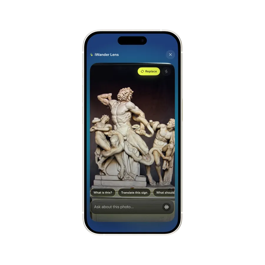
iWander home screen

01

Type your walk.

Any sight, theme or vibe. "Neukölln essentials - Hermannplatz to Tempelhofer Feld", "Sonnenallee Arab Street food walk", "Reuterkiez third-wave coffee brunch", "Tempelhofer Feld Sunday afternoon", "Klunkerkranich rooftop at sunset", "Britz Hufeisensiedlung UNESCO", "1948 Berlin Airlift history walk". iWander writes the walk in 30 seconds.

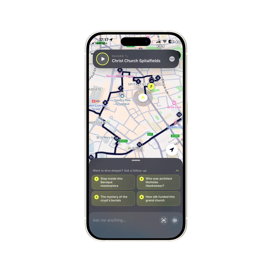
iWander audio walk in progress

02

Hear the story as you walk.

The 1880-1920 Wilhelmine working-class build-out, the 1923 opening of Tempelhof Airport, the 1925-30 Bruno Taut Hufeisensiedlung UNESCO estate, the 1929 Karstadt Hermannplatz, the 1933-45 Nazi Tempelhof terminal expansion, the 1948-49 Berlin Airlift Rosinenbomber, the 1961 Wall arriving at Heidelberger Strasse, the 1961-89 Cold War Sonnenallee, the 1960s Turkish guest-worker immigration, the 1990s Arabic refugee waves, the 2010-2020 gentrification, the 2014 Tempelhofer Feld referendum, the 2015-17 Syrian refugee wave.

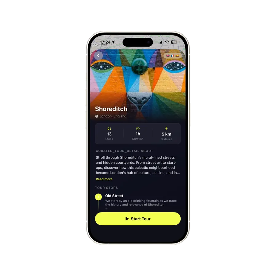
iWander on-demand AI guide

03

Ask anything along the way.

Where's the best falafel? When does the Klunkerkranich open? What's the history of Tempelhof Airport? Where was the Wall? Point your camera, ask out loud, or type. Your guide answers in seconds.

Works offline · 9 voiced languages · 30 free minutes on signup

What makes it worth walking

From Wilhelmine working-class district to immigrant centre to fastest-gentrified inner Berlin - 140 years on the southern slope

Neukölln is the former working-class southern Berlin district that became the symbolic centre of Berlin's 2010s gentrification and the city's most-quoted multicultural neighbourhood. The district covers 12 sq km and 165,000 residents in the northern half (the inner 'Nord-Neukölln' between the Landwehrkanal and the Ringbahn S-Bahn) and a more suburban southern half (Britz, Buckow, Rudow). Neukölln was developed as a Wilhelmine working-class quarter 1880-1920; it was the destination of large waves of Turkish, Arabic and Balkan immigration from the 1960s; in the 2010s it gentrified faster than any other inner Berlin neighbourhood. Walking Neukölln is walking 140 years of immigrant and working-class Berlin layered with a 15-year gentrification veneer.

The Wilhelmine working-class build-out (1880-1920)

The area south of the old Berlin walls was farmland until the 1860s - the Rixdorf village (today's central Neukölln) was a Bohemian Protestant refugee settlement founded by Friedrich Wilhelm I of Prussia in 1737. The dramatic change came in the 1880s with the Wilhelmine industrial boom: the area south of the Landwehrkanal was developed as a dense working-class quarter to house the workforce of the new engineering and machine-tool factories. The street grid was laid out 1880-1900 with the typical 5-6 storey Mietskasernen (rental tenement) construction. The U-Bahn arrived in stages 1924-1927. In 1912 Rixdorf was renamed Neukölln ('New Kölln') by the city council to escape the working-class reputation of the old name. In 1920 Neukölln was incorporated into Greater Berlin.

The Tempelhof Airport era (1923-2008)

Tempelhof Airport opened in 1923 on the parade ground south of the Landwehrkanal - one of the first commercial airports in Europe. The 1936-1941 Nazi expansion (Ernst Sagebiel architect) created the massive 1.2-km horseshoe terminal building still standing today - planned as the gateway to Hitler's projected 'Germania' capital, one of the largest buildings in Europe by footprint. After WWII the airport played the central role in the 1948-49 Berlin Airlift: when the Soviet Union blockaded West Berlin (24 June 1948 - 12 May 1949), the United States and Britain supplied the western enclave entirely by air, with C-54 cargo planes landing at Tempelhof every 90 seconds for 15 months, delivering 2.3 million tons of food, coal and supplies. The 'Rosinenbomber' ('raisin bombers' - the candy that American pilots dropped to West Berlin children) became one of the symbolic moments of the early Cold War. Tempelhof continued as a US military and commercial airport through the Cold War, closed in 2008, and reopened as Tempelhofer Feld park in 2010. The 2014 referendum permanently blocked any housing development - the field is preserved forever as the largest inner-city park in the world.

The immigrant wave (1960s-2010s)

From the 1960s onwards Neukölln became one of Berlin's main destination districts for immigrant workers. The Turkish guest-worker (Gastarbeiter) immigration of 1961-1973 settled disproportionately along Karl-Marx-Strasse and Hermannstrasse; the 1990s Balkan refugees (Bosnian, Albanian, Kosovar) settled across the district; the 2000s Arabic immigration (Lebanese, Palestinian, Syrian) concentrated along Sonnenallee; the 2015-2017 Syrian refugee wave (about 130,000 Syrians admitted to Berlin during the humanitarian programme) settled heavily in northern Neukölln, making Sonnenallee the canonical 'Arab Street' of Berlin. By 2020 about 40% of Neukölln residents were first or second-generation immigrants - the highest concentration in central Berlin. The district is multilingual on the street: Turkish, Arabic, German, English, and increasingly the international gentrifier languages (Spanish, Italian, French) overlap.

The 1925-1930 Bruno Taut housing reform

The southern (suburban) half of Neukölln holds one of the most-celebrated achievements of 20th-century social housing: the Britz Hufeisensiedlung (Horseshoe Estate, 1925-1930) by Bruno Taut and Martin Wagner. The estate is one of six 'Berlin Modernism Housing Estates' inscribed as a UNESCO World Heritage Site in 2008 (the others are Falkenberg 1913-15, Schillerpark in Wedding 1924-30, Carl Legien in Prenzlauer Berg 1928-30, Weiße Stadt in Reinickendorf 1929-31, and Onkel-Toms-Hütte in Zehlendorf 1926-32). The Hufeisensiedlung is the most iconic - a 350-metre horseshoe of 350 apartments around a sunken pond and green centre, painted in Taut's signature colours (blue doors, red gables, white walls, green window frames). The estate was built as social housing for working-class Berliners and remains social housing today - you can walk the courtyard freely, but the apartments are not open. Other notable Neukölln modernism: the Wohnstadt Carl Legien (1928-30 Taut/Wagner in northern Neukölln, also UNESCO) and the BBR Britz estate.

The 2010-2025 gentrification

Neukölln's 2010-2025 gentrification was the fastest of any Berlin district. The combination of cheap rents (€6/sq m in 2010), central location, intact architectural fabric, and the cultural cachet of next-door Kreuzberg drew an enormous wave of international gentrifiers - by 2015 the rents had doubled, by 2020 quadrupled, by 2025 they had reached parity with Kreuzberg and Prenzlauer Berg. The Reuterkiez (north Neukölln, between the canal and Sonnenallee) was the first wave 2005-2012; the Schillerkiez (south of Tempelhofer Feld) was the second wave 2012-2018; the inner Hermannstrasse-and-Boddinstrasse zone was the third wave 2018-2024. The visible gentrification: the natural-wine bars on Weserstrasse, the third-wave coffee shops on Pannierstrasse, the design boutiques on Reuterstrasse, the international restaurants everywhere. The Türkish-and-Arabic Neukölln remains demographically central (40% of residents) but visibly less dominant - the Wilhelmine tenements that were 80% Turkish-tenant in 2005 are now 50% Turkish-tenant and 30% gentrifier-tenant; the originals retire in place, the new residents move in around them. The 'Wessis raus' graffiti and the rent-protest campaigns are the visible cultural response.

The contemporary walking experience

Walking Neukölln in 2026 is walking the most densely-layered immigrant-and-gentrification story in central Berlin. The canonical walk runs north-to-south: start at Maybachufer (the Türkenmarkt Tue/Fri 11-18:30, the canal-side walk along the north edge of Neukölln), cross the canal-side at the Kottbusser Brücke into northern Neukölln, walk south through the Reuterkiez (Reuterstrasse + Pannierstrasse + Weserstrasse - the third-wave-coffee belt) to Hermannplatz, then south along Sonnenallee (the Arab Street) for 1.5 km to Sonnenallee S-Bahn, then west to the Tempelhofer Feld entrance at Oderstrasse, walk through the field 1-2 km to the Tempelhofer Damm exit, finishing at the Tempelhof terminal building. The walk is about 7 km and takes 4-5 hours with stops; on a Sunday with the Tempelhofer Feld picnic crowd and the Reuterkiez brunch you can extend it to a full day. The Britz Hufeisensiedlung (4 km south, U7 Parchimer Allee) is a separate 2-hour detour.
Questions

Frequently asked

The former working-class southern Berlin district that became the symbolic centre of Berlin's 2010s gentrification and the most-quoted multicultural neighbourhood. 12 sq km, 165,000 residents. Wilhelmine working-class build-out 1880-1920, Turkish + Arabic immigrant centre from the 1960s, fastest-gentrified inner Berlin district 2010-2025. About 40% of residents are first/second-generation immigrants.
A focused walk - Hermannplatz, Sonnenallee, Reuterkiez, Maybachufer, Tempelhofer Feld - takes 3.5 hours. Best Sunday for Tempelhofer Feld, Tue/Fri for Türkenmarkt 11-18:30, summer evenings for Klunkerkranich. The southern Britz Hufeisensiedlung needs a separate 2-hour detour.
The 4-km arterial street running south-east from Hermannplatz to Baumschulenstrasse. The northern 1.5 km is Berlin's canonical 'Arab Street' - the densest concentration of Lebanese, Syrian, Palestinian and Iraqi restaurants, bakeries, shisha lounges and shops. Heavy 2015-17 Syrian refugee settlement. The Wall ran across it at Heidelberger Strasse 1961-89.
386-hectare public park on the former 1923-2008 Tempelhof Airport - the largest inner-city park in the world, bigger than Central Park. Nazi-era 1936-41 horseshoe terminal still standing. 1948-49 Berlin Airlift Rosinenbomber. 2010 park opening. 2014 referendum permanently blocked development. Two preserved 2.1-km runways. Free, dawn-to-dusk.
The central Neukölln transport interchange - U7 and U8 U-Bahn lines meet beneath. Anchored by the 1929 Philipp Schaefer Karstadt department store (8 storeys, 72,000 sq m Expressionist). Symbolic centre of multicultural Neukölln. South opens to Sonnenallee (Arabic), east to Karl-Marx-Strasse (Turkish), west to Urbanstrasse (Kreuzberg frontier).
The gentrified café-and-bar quarter of northern Neukölln, between the Landwehrkanal, Sonnenallee and Hermannplatz. Original 2005-12 gentrification frontier. The 'Kreuzkölln' Kreuzberg+Neukölln hybrid identity. Five Elephant Coffee, Roamers brunch, Lavanderia Vecchia Italian, Sing Blackbird. Densest natural-wine + third-wave-coffee concentration in southern Berlin.
Karl-Marx-Strasse 66. The iconic Neukölln rooftop bar on the multi-storey car park above the Neukölln Arcaden shopping centre. Since 2013. 360° south-Berlin panoramic view. Open Mar-Oct, daily from 17:00. €4 weekdays €6 weekends entry, cash only. Live DJs, rooftop garden. Closed Nov-Feb.
The Tuesday/Friday market on Maybachufer (Neukölln side of the Landwehrkanal, Kottbusser Brücke to Schinkestrasse), 11-18:30 year-round. 50-70 stalls of Turkish + Middle Eastern + biological produce. The canonical Kreuzkölln canal-side ritual. Sunday Nowkölln Flowmarkt at the same location (every second Sunday 10-17).
Fritz-Reuter-Allee, 4 km south of Hermannplatz (U7 Parchimer Allee). The 1925-30 Bruno Taut + Martin Wagner Hufeisensiedlung (Horseshoe Estate) - 1,072 apartments around a 350-metre horseshoe with sunken pond. Bruno Taut's signature blue/red/white/green palette. UNESCO World Heritage Site (2008). Still social housing. Free walk-through, courtyard always open.
Berlin's most-diverse food scene. Middle Eastern: Azzam (Sonnenallee 54 falafel), Aldimashqi (Damascus), Akroum (Beirut shawarma), Konditorei Damaskus (Aleppo sweets). Modern: Lavanderia Vecchia (Italian fine-dining); Roamers (Aussie brunch); Industry Standard; Sing Blackbird. Coffee: Five Elephant (third-wave standard). Bars: Klunkerkranich rooftop; Geist im Glas cocktails.
U-Bahn: U7 Hermannplatz + Rathaus Neukölln. U8 Hermannplatz + Boddinstrasse + Hermannstrasse. U6 Tempelhof + Britz-Süd. S-Bahn: Sonnenallee, Neukölln, Hermannstrasse (all S41/S42 ring). From Hauptbahnhof: U6+U8 (35 min). From BER airport: S9 to Neukölln ring (25 min) or U7 from Rudow to Hermannplatz (35 min).

How to find it

Getting to Neukölln

District
Neukölln borough · postal codes 12043-12059 (Nord-Neukölln) · 12347-12359 (Britz, Buckow, Rudow)
U-Bahn
U7 along Karl-Marx-Strasse (Hermannplatz, Rathaus Neukölln, Karl-Marx-Strasse, Neukölln, Grenzallee) · U8 north-south (Hermannplatz, Boddinstrasse, Leinestrasse, Hermannstrasse) · U6 (Tempelhof, Alt-Tempelhof, Britz-Süd, Rudow)
S-Bahn
Sonnenallee (S41/S42 ring + S45/S46/S8/S9) · Neukölln (S41/S42 + S45/S46) · Hermannstrasse (S41/S42 + U8) · Tempelhof (S41/S42 + U6)
Tempelhofer Feld entrances
North: Columbiadamm (U6 Platz der Luftbrücke or U6 Südstern) · West: Tempelhofer Damm (U6 Tempelhof) · East: Oderstrasse (U8 Boddinstrasse) · South: Herrfurthstrasse
From Brandenburg airport (BER)
S9 to Neukölln S-Bahn (25 min, the most direct) · or U7 from Rudow north to Hermannplatz (35 min) · taxi 30 min, €40
From Hauptbahnhof
U6 to Friedrichstrasse + U8 to Hermannplatz (25 min) · or U5/U7 + transfer (30 min)
Best season
April-October for Tempelhofer Feld + Klunkerkranich (Mar-Oct only) + canal-side. Türkenmarkt + Sonnenallee year-round. November-February cold but Sonnenallee restaurants are indoor
When to walk
Türkenmarkt Tue + Fri 11-18:30. Sunday Tempelhofer Feld picnic crowd. Klunkerkranich Mar-Oct daily 17:00+. Sonnenallee restaurants 12:00-23:00. Tempelhof terminal tours Wed-Sun €17.50

The headline sights

Three landmarks to anchor your walk

Pull the audio walk around any of these and the rest of Neukölln falls into place.

Tempelhofer Feld + the Airlift terminal

Platz der Luftbrücke + Oderstrasse + Tempelhofer Damm. The 386-hectare park on the former 1923-2008 Tempelhof Airport - larger than Central Park, the largest inner-city park in the world. The two preserved 2.1-km runways are now used for cycling, rollerblading, kite-buggies, urban gardening, Sunday picnics. The 1.2-km curved Nazi-era 1936-41 horseshoe terminal building still stands on the north side - the site of the 1948-49 Berlin Airlift, with terminal tours Wed-Sun (€17.50). 2014 referendum permanently blocked development.

Walk the field

Hermannplatz + Sonnenallee

Hermannplatz + Sonnenallee 15-100. Hermannplatz is the central Neukölln U7/U8 transport interchange, anchored by the 1929 Philipp Schaefer Karstadt Expressionist department store (8 storeys, 72,000 sq m). South-east from Hermannplatz, Sonnenallee runs 1.5 km as the canonical 'Arab Street' of Berlin - Lebanese, Syrian, Palestinian and Iraqi restaurants, bakeries, shisha lounges. The food walk: Azzam (#54), Aldimashqi (#15), Akroum (#85), Konditorei Damaskus (#93). Heavy 2015-17 Syrian refugee settlement. The Wall ran across at Heidelberger Strasse 1961-89.

Walk square + street

Reuterkiez + Maybachufer

Reuterstrasse + Pannierstrasse + Maybachufer. The Reuterkiez is the gentrified café-and-bar quarter between the Landwehrkanal, Hermannplatz and Sonnenallee - the 'Kreuzkölln' hybrid identity. Five Elephant Coffee (Reichenberger Strasse 101), Roamers brunch (Pannierstrasse 64), Lavanderia Vecchia Italian (Flughafenstrasse 46). Maybachufer is the canal-side towpath with the Türkenmarkt (Tue + Fri 11-18:30) and the Sunday Nowkölln Flowmarkt (every second Sunday). The most-photographed Kreuzkölln stretch.

Walk Kreuzkölln

Other Berlin neighbourhoods to wander

Walk somewhere else in Berlin

Build any Neukölln walk you want.

Tell us a theme, a question, a vibe - Sonnenallee Arab Street food walk, Tempelhofer Feld Sunday afternoon, Reuterkiez brunch crawl, Klunkerkranich at sunset, 1948 Berlin Airlift history, Britz Hufeisensiedlung UNESCO - and your walk is ready in 30 seconds.

Get the iWander app

30 free minutes on signup · Subscriptions from $10/mo · Cancel anytime

Updated 23 May 2026 by the iWander local team · Curated for accuracy